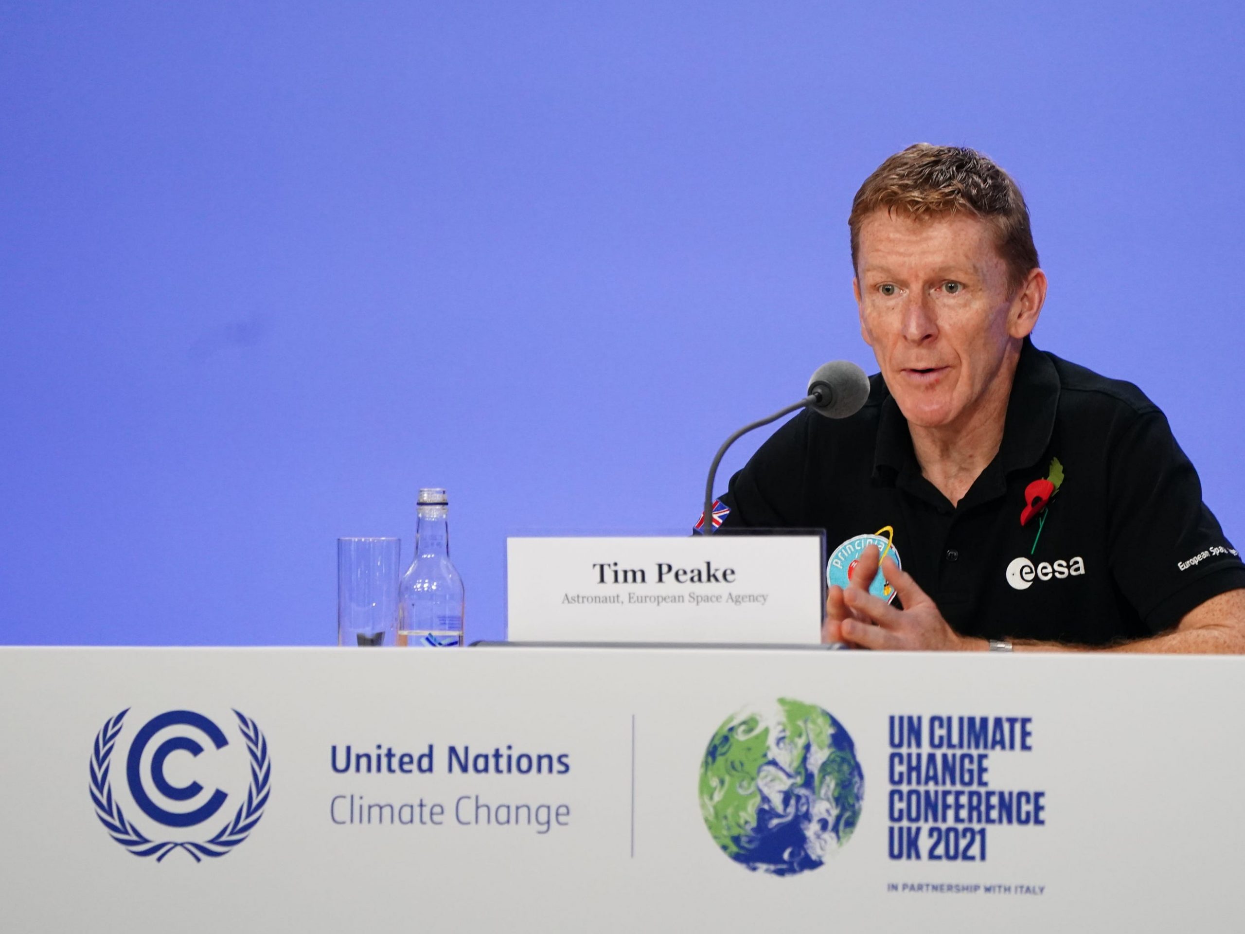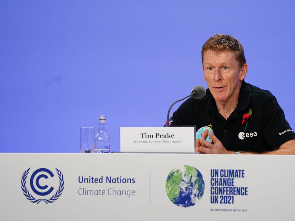
Jane Barlow/PA Images via Getty Images
- At COP26, a collaboration in the form of the CommonSensing project urges us to look to space for climate change solutions.
- The project will help Fiji, Vanuatu, and the Solomon Islands build resilience to the effects of climate change, and provide evidence for financing.
- Using satellite technology may be essential in Small Island Developing States' efforts to mitigate the risks of climate change, ensure food security, and adapt to climate crises.
Climate change innovation must transcend the boundaries of planet earth itself. Or so advocate astronauts, space agencies, and satellite technologists at Glasgow's COP26 climate summit, where the CommonSensing solution – an international project for building climate resilience through satellite remote sensing technology – is being showcased.
Space has been co-opted as the playground of billionaires such as Jeff Bezos and Elon Musk. But those working within the sector argue it is time for a perspective shift – technology and, specifically satellite data, is brimming with potential in aiding humanitarian crises, as well as climate change adaptation and mitigation efforts.
"When you look down on the planet, you see signs of both the cause and effect of climate change," explained British astronaut Tim Peake, speaking at COP26. From aerial views of North American wildfires and Amazon deforestation to smog build-up above the Himalayas, Peake has seen it all. But space, he says, will also provide solutions in the form of data that is needed for informed decision-making. "We haven't got the time or money to get it wrong," he says.
Afghanistan, Nigeria, Thailand, and Malawi, are all among those already leveraging satellites to tackle issues of food insecurity. But using space to combat climate change is relatively new terrain, though one gaining in traction; in May, NASA reinvigorated its role as informing US Climate policy; climate-related mission, TRUTHS, has just been launched in the UK.
Half of all "essential climate variables" – empirical data supporting climate science and predicting future change – are collected from space. But until now, this data has had an accessibility problem.
The CommonSensing solution, bringing together the United Nations Satellite Centre (UNOSAT), Satellite Applications Catapult, the Commonwealth Secretariat, Devex, the United Kingdom's Met Office, The University of Portsmouth, Sensonomic, and Spatial Days, wants to change this.
Specifically, the coalition will be working with Small Island Developing States (SIDS). Though on the frontlines of the climate crisis, SIDS contribute least to greenhouse gas emissions and have limited access to crucial, climate-related data.
By focusing on Vanuatu, the Solomon Islands and Fiji, all with populations living just five meters above sea level, the CommonSensing solution aims to improve food security, disaster response, and track the effects of climate change.
"We use geospatial technologies, typically satellite imagery, to create resilience to climate change," says Einar Bjørgo, UNOSAT Director. "Combining it with information like population distribution and vulnerabilities to climate hazards, which helps governments develop short-term tools to help with disaster preparedness, but also long-term initiatives that open access to climate funds."
Each country is also receiving technical training in interpreting satellite data, and climate finance advisors will be embedded within governments.
To receive financing, developing countries must often prove the effects of climate change through data reporting. But, as UNOSAT technical expert for Fiji, Lebaiatelait Guanavinaka, puts it, "There's a lack of accessible, relevant data robustly supporting evidence-based proposals." This data is crucial for demystifying investment criteria, she says.
In Fiji, projects are already underway. Seawall interventions protect against water rising and coastal erosion, seedlings are distributed to enhance food security efforts, and coral biodiversity is safeguarded through mangrove planting.
"As a last resort, at-risk communities are flagged for relocation," says Guanavinaka. Satellite data can directly assist with these on-the-ground projects, she adds. "We mapped mangroves covering five islands and shared the data and methodology with the Ministry of Forest and Ministry of Lands so they can replicate the same for the smaller islands."
Covid-19 has slowed progress, but the teams remain optimistic. "It's important to have people from the governments of SIDS sitting with us over time," says Bjørgo. "We are sharing data among each organization, and involving those on the ground." This kind of collaboration, he adds, is infinitely useful in advancing the science and funding that will combat climate change.
