Marcio Jose Sanchez/AP Photo
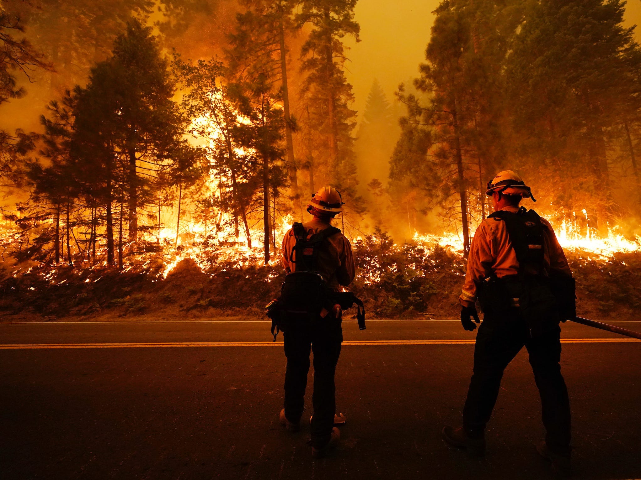
- Record-breaking wildfires are sweeping across California, Oregon, and Washington, emitting plumes of smoke that have blanketed the states and turned the skies orange.
- Satellites captured jarring footage of the fires and smoke covering the West Coast.
- Experts expect to see more frequent, larger fires as climate change continues to dry out forests and bring more frequent heat waves and lightning.
- Visit Insider’s homepage for more stories.
Historic wildfires are raging throughout the West Coast, blanketing the coastline in a thick layer of smoke that’s visible from space.
Experts say these fires arrived unusually early and spread quickly through forests dried out by years of record heat. Some of the blazes are emitting so much smoke that they create their own weather systems, and the smoke has tinted the skies orange and red over San Francisco and parts of the coast.
“The geographic scale and intensity of what is transpiring is truly jarring,” Daniel Swain, a climate scientist at the University of California, Los Angeles, wrote on Twitter.
More than 85 fires are raging across California, Oregon, and Washington — including the August Complex Fire, which is now the largest in California history at more than 471,000 acres. (It started as 37 different blazes that ignited on August 17 and have since joined together.)
California’s third- and fourth- biggest fires ever are also burning right now: The SCU Lightning Complex and LNU Lightning Complex Fires started after a lightning storm on August 16. They are 97% and 94% contained.
The state's blazes have burned a record 3.1 million acres so far — an area more than 100 times the size of San Francisco. That's more than any year on record, and fire season doesn't normally peak until late September.
Oregon, too, is facing historic set of blazes.
"Over the last 24 hours, Oregon has experienced unprecedented fire with significant damage," Gov. Kate Brown said on Wednesday, according to Oregon Public Broadcasting. "This could be the greatest loss of human lives and property due to wildfire in our state's history."
The National Oceanic and Atmospheric Association shared satellite footage that captures the scale of the devastation. The clip below spans the 12 hours from about 9 a.m. to 9 p.m. PT on Tuesday, combining GeoColor imagery (to show the landscape and the smoke) with fire-temperature data (to highlight the glow from fire hotspots).

The blazes have forced tens of thousands of people to evacuate their homes, some with just minutes to flee. At least seven people have died.
"We have seen multiple fires expand by tens of thousands of acres in a matter of hours, and 30 years or more ago, that just wasn't fire behavior that we saw," Jacob Bendix, a professor of geography and the environment at Syracuse University, told the Associated Press.
The fires' rapid overnight growth on Tuesday was visible in another satellite timelapse from the Cooperative Institute for Research in the Atmosphere, a collaboration between NOAA and Colorado State University.
—CIRA (@CIRA_CSU) September 9, 2020
The Creek Fire, for example, spread quickly through the dry timber of California's Sierra National Forest. On Saturday it jumped a river and cut off the only road out of a major campground, moving 15 miles in a single day and trapping hundreds of people in the forest.
The blaze doubled in size on Sunday and again on Monday, growing to nearly 176,000 acres as of Thursday.
Four days of helicopter flights eventually rescued about 400 hikers and campers trapped by that blaze, along with at least a dozen pets. Some of the rescued hikers and campers had burns or broken bones from trying to escape the encroaching flames, The New York Times reported.
"We had to splash water on our hair because our hair was catching on fire," 16-year-old Rylee Zukovsky told the Times on Sunday. "I was shoveling so much water into my face that I was almost drowning myself."

Josh Edelson/AFP via Getty Imags
"Nobody knew helicopters were coming," she added.
Experts have long warned that climate change will bring larger, more frequent fires. That's because rising global temperatures dry out vegetation (California has endured record drought over the last decade) and increase the likelihood of heatwaves, like the one that recently hit California.
This week's heat followed a late August heatwave that brought a dry lightning storm. The strikes ignited several of the current fires. Lightning, too, will likely become more frequent — and ignite more fires — as the climate warms. A 2014 study found that each degree in planetary warming may increase the number of worldwide lightning strikes by 12%. Fires ignited by lightning, meanwhile, are likely to increase worldwide, according to a 2018 study, as more frequent lightning bolts strike drier grass and forests.
